
Looking Up Roy Neighbors
A block search is a set of layers. Each source shows something different about the parcels and community around an address.
| Source | What it shows about a block | Access |
|---|---|---|
| Geo-Gizmo | Adjacent parcel polygons, IDs, map layers, popup fields | Public map; visual only |
| Parcel Search | Owner, situs and mailing address, tax area, legal description | Free county search |
| Recorder and plat | Subdivision, lot/block, prior parcels, deed chain | Free, paid, counter, or abstract route |
| Utah voter data | Defined registration address and election fields | Request or lookup; protections apply |
| Roy planning records | Building and unit addresses, project phases, approval dates | Packets or city request |
| Regional directories | Historical street occupants and businesses | Marriott, FamilySearch, library |
Owner names are a property layer. They are not a complete list of neighbors, occupants, or household members. The safest description is “nearby parcels and public records associated with them,” unless a separate source supports a narrower statement.
Map Roy Neighbors by Parcel
Geo-Gizmo’s address-and-place search provides the visual start. Zoom until parcel polygons are distinct, click the known parcel, and follow the adjoining shapes one at a time. Record parcel IDs first, then use the county card to inspect owner and address fields.
Use this process:
- Search the known Roy address in Weber Geo-Gizmo.
- Click the subject polygon and follow “More Parcel Info” or the parcel link if shown.
- Pan along the street and click immediately adjoining polygons, recording each parcel ID.
- Open Parcel Search for the official property and mailing fields.
- Use a plat, voter route, planning packet, or directory only for the specific question it can answer.
The map helps you understand adjacency. Its parcel lines are visual tax-map representations, not exact surveyed boundaries. A measure tool shows map distance and does not establish a legal line.
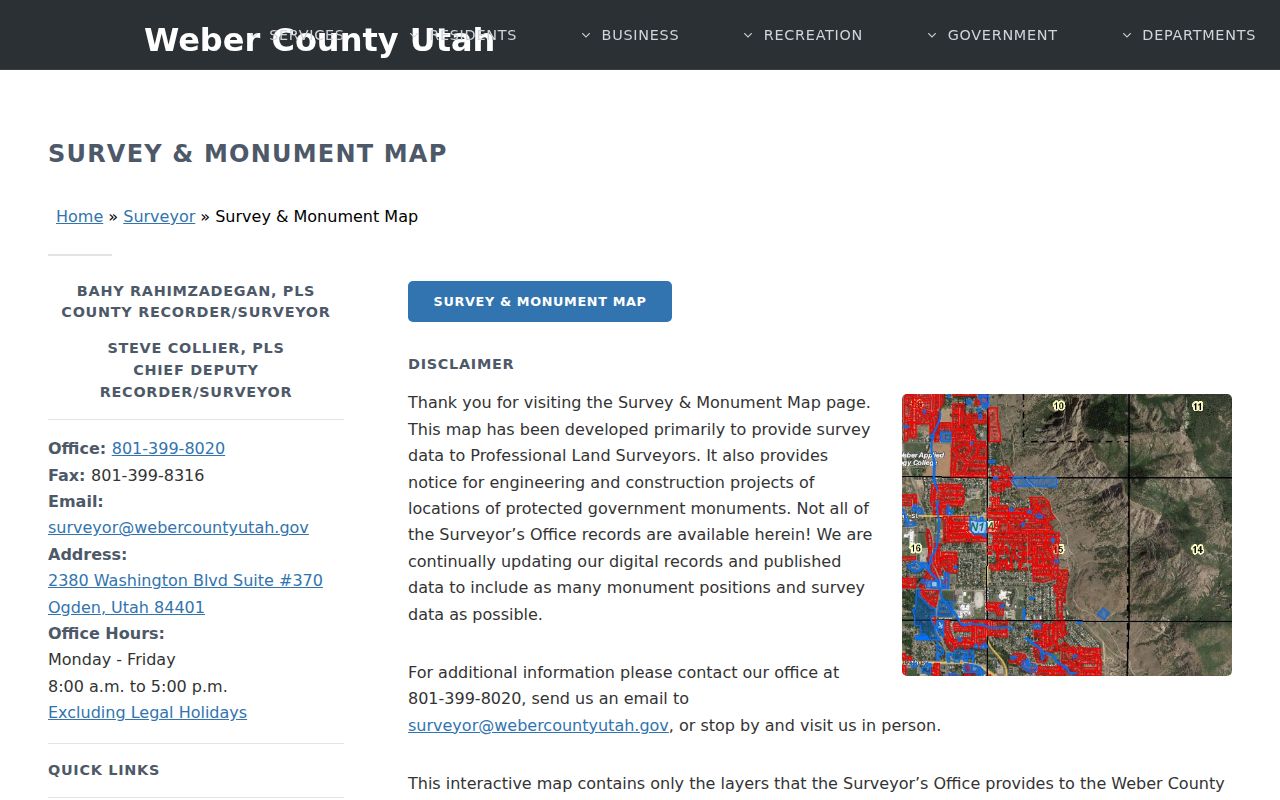
The Weber Surveyor interactive guidance explains the map and parcel-line limits.
Build a Roy Neighbors Block
Parcel IDs keep a neighbor lookup from drifting as street labels, postal cities, and owner names vary. For each adjoining lot, compare the map, parcel card, legal description, mailing address, and tax area. Group common plat or subdivision names when the question concerns a development phase.
Do not publish a block roster as if it were a resident list. The county record can identify a titled owner or mailing destination. It does not establish who is inside, who shares a household, or whether a person is present today. For the whole named street, use the Roy street directory rather than expanding a block search beyond its purpose.
Roy Neighbors and Voter Data
Utah standard voter data may include name, physical and mailing address, year of birth, party affiliation, and vote history. SSN, state ID, email, full birth date, phone, and signature are private. At-risk voters may be withheld, including eligible victims, law-enforcement officers, protective-order subjects, armed-forces members, public figures, and co-residents.
The statewide file request page describes a $1,050 file, tab-delimited delivery, and timing under Utah Code 20A-2-607. County or district requests go to Weber Elections. A public web registration service may only show the requester’s own record. Therefore a block-level lookup cannot be presented as a complete list of everyone nearby.
Read the Utah Safe at Home program overview alongside the voter rules before interpreting a missing address.
Roy Neighbors and Plat Names
A plat can tell you whether adjacent parcels belong to the same subdivision, lot and block, or a later phase. Older or rural descriptions may use bearings and distances instead. Preserve the exact legal description from the Weber card and Recorder route, especially when a current street number does not match an older map.
Roy’s city and county addressing roles also matter. Incorporated-city address changes require city approval or affidavit before the county record updates. A mailing address can point to another postal city even when the parcel sits in Roy. Check the county property-address guidance for the assignment distinction.
Roy Neighbors and Building Phases
Roy planning packets can show unit-level addresses, building permits before construction, land-disturbance and stormwater conditions, site-plan review, subdivision phases, and zoning conditions. These records can explain why several nearby parcels appeared at once or why a street’s built form changed.
The research did not locate a searchable public Roy permit index. Request a planning packet or a specific record by address, parcel, and date. A permit dates a project or building. It does not name every person who later occupied a unit, and it should not be used as a present household claim.
Roy Neighbors Community Directories
No official master list of Roy neighborhood associations or public member directories was located. City planning and meeting records show public processes, but they do not establish a complete HOA or civic roster. Search a subdivision or plat name in the Recorder first, then look for a public association contact page or meeting notice.
| Roy city neighborhoods | No official master list found; ask City Recorder or Planning. |
|---|---|
| HOA or subdivision groups | No public member directories located; use plat names and public contact pages. |
| Civic, church, veteran groups | Historical presence may appear in archives or yearbooks; current rosters were not found. |
| Library route | Ask Weber County Library for yearbooks, newspapers, local history, and historical directories. |
Public events, meeting notices, and historical collections can add community context without exposing a private membership list.
Roy Neighbors Through History
Roy’s earlier place names were Central City, Sandridge, the Basin, and Lakeview. Settlement began in 1873, the post office opened in 1894, and incorporation came in 1937. A historic block may therefore appear under Weber County or an earlier locality instead of Roy.
Roy’s mid-century growth was tied to nearby military and industrial installations. A regional directory or census can show a household in the Ogden and Weber area without using the later city label. The historical page explains that directory shelf; this neighbor lookup stays focused on the block around one address.
Roy Neighbors Official Sources
Official rolls come from a named custodian and expose only the fields that custodian classifies as public. Compiled neighbor tools may merge parcel, marketing, historical address, and phone associations. A paid result can still be stale, conflated, incomplete, or wrong, and it cannot override a protected or sealed record.
| Question | Official route | Limit |
|---|---|---|
| Which parcels touch? | Geo-Gizmo and a recorded plat | Map lines are visual, not a survey |
| Who owns a parcel? | Weber Parcel Search / Recorder | Owner is not automatically an occupant |
| Who is registered? | Utah or Weber voter request | Private and at-risk fields are withheld |
| Who lived there historically? | Marriott, FamilySearch, library, Archives | Historical entry is not current proof |
Verify a material fact with the office that holds it. When the question is a person rather than a block, use the Roy resident lookup.
Privacy Limits on Roy Neighbors
Non-owner household members, guests, utility customers, delivery recipients, DMV records, protected voters, actual Safe at Home addresses, and restricted court or vital records are not a lawful public block roster. GRAMA does not force a custodian to create a new list or reveal protected information.
Lawful use. Roy neighbor records are for getting to know the block, reconnecting, family history, civic research, and personal safety awareness. Do not use them to stalk, harass, intimidate, or harm anyone.
A missing name or address can be a privacy safeguard. Stop when the evidence ends, and contact the custodian directly if a legitimate correction or public-record request is needed.