
Sources for Roy Previous Residents
A past-residents search needs a source for each era. The coverage table separates current parcel evidence, historical people records, and the gaps between them.
| Source | Years covered | Where held | What it shows |
|---|---|---|---|
| Parcel and Recorder links | Current and prior records; Old Abstracts labeled Pre 1980 | Weber County | Owner, legal description, recording references, prior parcels |
| Regional city directories | 1879–80, 1883, 1890–1901, selected 1942–1982/83 | Marriott / FamilySearch / library | Historical names, streets, occupations, businesses |
| Weber census index | 1850 | Utah State Archives | Name, gender, age, birthplace, occupation, linked image |
| Weber civil index | 1851–1969 | Utah State Archives | Historical case index and retrieval path |
| Probate case files | 1852–1887 | Utah State Archives | Estate and case context; files may be incomplete |
| Planning packets | Recent project reviews | Roy Community Development | Unit addresses, phases, permits and site conditions |
Coverage is not continuous. An unlisted year may reflect a missing volume, a changed title, an unindexed office, or a household that did not appear. Record the gap instead of filling it with a guess.
Roy Previous Residents Parcel Card
Begin with the current Weber Parcel Search result. Save the parcel number, owner, property address, mailing address, tax area, recording reference, prior parcels, plats, and legal description. The card is the anchor that lets a current address become a historical property.
Read the mailing address separately. It may lead away from the situs and can identify a tax-notice destination rather than a person who lives at the parcel. If a parcel card has an older legal description, keep its punctuation and every lot, block, plat, or metes-and-bounds detail.
Trace Roy Previous Residents Deed Chain
The backward deed method follows the current recording reference to the prior grantor and grantee, then opens the earlier instrument. Repeat with each predecessor parcel or plat reference. A chain can show conveyance dates, legal descriptions, subdivision names, and owner changes, but it does not name every household member.
- Open the current Weber Parcel Search card and copy the recording reference.
- Use the Recorder / Surveyor portal to identify the instrument, grantor, grantee, date, and legal description.
- Follow a prior parcel, plat, lot, block, or subdivision reference to the next older instrument.
- Write each owner change in date order and keep the exact address or legal-description language.
- Compare each period with a directory, census, obituary, probate file, or planning record before calling a person a past resident.
- Grantor
- The party conveying an interest in a recorded instrument.
- Grantee
- The party receiving the interest.
- Chain of title
- The linked sequence of recorded transfers for a parcel.
- Legal description
- The recorded land description, which can outlast a changed street address.
The Recorder page offers free parcel links, a paid Title Abstract Search, plats, historic tax maps, and Old Abstracts labeled Pre 1980. It does not publish a complete historic cutoff, so use the office’s current route rather than inventing one.
Roy Previous Residents Before 1980
Weber’s Recorder/Surveyor page separately lists Old Abstracts with a Pre 1980 label. That label is a clue to a different search path, not proof that every record before 1980 is absent from the online system. Ask the office which abstract or instrument route fits the parcel and date.
When an online link ends, use the Recorder’s counter, phone or email route, a specific records request, or GRAMA through the county’s NextRequest hub. Describe the parcel, owner, instrument, date range, and legal description so the custodian can search an existing record.
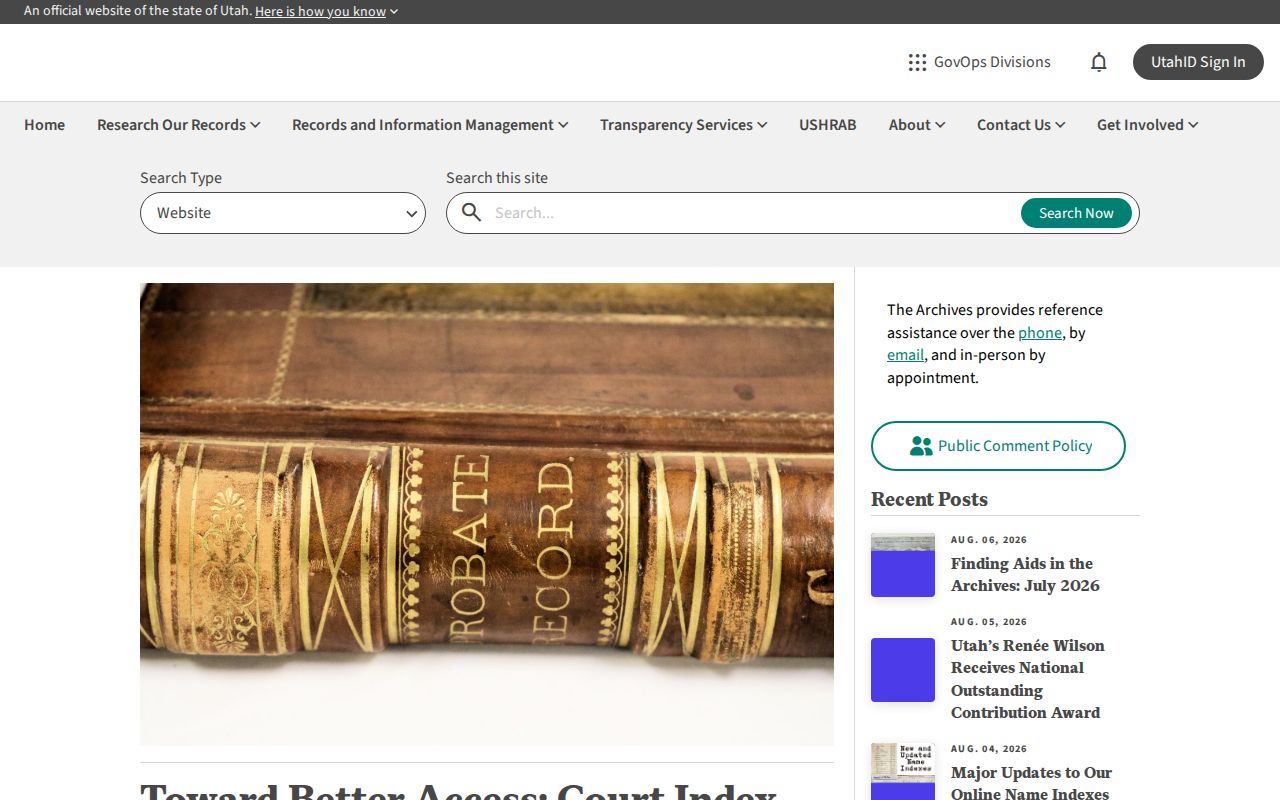
The Utah Archives digitization article shows why an online index can still require a reference request for the underlying file.
Roy Previous Residents and Plats
Roy property history may cross a predecessor parcel, subdivision phase, or address assignment. A plat can preserve lot and block language when a street number has changed. Compare the current card with the recorded legal description and any prior-parcel link, then search the earlier wording in the Recorder and directory catalog.
Roy planning packets provide another date clue. They show unit-level addresses, building permits, land-disturbance and stormwater conditions, zoning review, site plans, and subdivision phases. Those milestones date a building or project. They do not prove who lived in a unit at the time.
Roy Previous Residents Directories
Once the deed chain gives an approximate owner and year, turn to the regional Ogden/Weber city directories. Identified runs include 1879–80, 1883, 1890–1901 microfilm, selected 1942–1962 Polk volumes, and 1973–1982/83 digital runs. Roy is embedded in the regional title, so search Ogden, Weber County, suburban towns, and the earlier names Central City, Sandridge, the Basin, and Lakeview.
Use the geographic street section to search an address, then check the alphabetical entry. For the collection details, use the Roy city directories page. This keeps the present page focused on the backward trail rather than repeating the whole historical shelf.
Roy Previous Residents Census Start
The Utah State Archives 1850 Weber index is an early name and household baseline. It links the first federal Weber enumeration to images and records names, gender, age, birthplace, and occupation. The place label may not say Roy because Roy’s later city identity came after the 1873 settlement, 1894 post office, and 1937 incorporation.
The Archives also identifies Weber Second District civil actions from 1851–1969 and Probate Court civil and criminal files from 1852–1887. Probate files can provide an estate or heir clue, but the finding aid warns that files and dispositions may be incomplete. An absence is not proof that no event occurred.
Roy Previous Residents Endpoints
When a deed chain reaches a person rather than a clear next owner, use Weber County Library for newspapers, obituary indexes, yearbooks, directories, and local-history references. An obituary can supply a death date, relatives, move, or community connection. Probate can connect an estate to heirs or a later deed. Neither should be treated as a current address.
Ask the Utah State Archives reference staff about its 1850 census index, civil-action index, probate finding aid, and image or appointment route. Use a marriage or death record when a name change is suspected, and preserve the source and date for each conclusion.
Roy Previous Residents House History
The research did not locate an official Roy-specific Sanborn sheet, searchable cemetery index, complete criss-cross run, or city permit search. A missing item is a documented research gap. Use plats, deeds, planning packets, regional directories, newspapers, archives, and the library instead of claiming a local index exists.
Lawful use. Previous-residents research is for house history, family history, estate work, and civic understanding. Do not use a historical address trail to stalk, harass, intimidate, or harm anyone.
Ownership and household history are not the same record. A past owner may never have occupied the parcel, and a listed household may include only the person the directory chose to print. For current street questions, use the Roy street directory.
Roy Previous Residents Timeline
Make a simple dated timeline for each address: current parcel card, recorded transfer, prior parcel or plat, directory appearance, census household, obituary or probate event, and later deed. A building permit can date construction or a subdivision phase, while a directory can place a named household in a year. These are different kinds of dates and should stay labeled.
Roy’s locality names make the timeline wider than the modern city label. Search Central City, Sandridge, the Basin, and Lakeview in older newspapers, census indexes, directories, and land records. If one decade is missing, keep the gap visible and ask the library or Archives for a specific item.